
White Plains Neighbors by Block Source
Local block records are spread across geographic, assessment, and civic sources. The County map is the best starting point for the parcels near a subject address. The City roll supplies assessment facts for an individual parcel, while a County Clerk instrument documents a recorded ownership transaction. Neither source proves every person who lives at a property. Civic organizations add public area contacts, not a member directory, and the voter system is not a street-browsing tool.
| Source | What It Shows About a Block | Access |
|---|---|---|
| County Property Viewer | Parcel geometry, address, SBL, print key, nearby-parcel results, and map context | Address, SBL, Print Key, and Near Me tools |
| White Plains assessment roll | Assessed owner, mailing address, class, value, and parcel clues for one parcel | City Assessor roll and tax material |
| County Clerk deed records | Recorded grantor, grantee, legal description, and chain-of-title references | WRO, Clerk terminals, or Archives |
| Map layers | School, fire, water, sewer, flood, zoning, and land-use geography | County viewer overlays, not personal identity data |
| CNA and City organizations | Public neighborhood-area and community-contact information | CNA and City directory pages |
| Election records | Personal voter-status channel or authorized election records only | Self-lookup and statutory election-purpose rule |
Start with the map when the question is which lots border a parcel. Start with the City roll when a parcel needs an assessed-owner or mailing-line check. Use the deed route to confirm an ownership transaction, not to create a household list. The record date belongs beside every result because City roll and County map data may not be from the same year.
Note: An owner or mailing line can be relevant to a parcel record without identifying the present occupants of that property.
Map White Plains Neighbor Parcels in Steps
The County Property Viewer gives a parcel-centered workflow. Begin with a complete address, SBL, or Print Key, select the subject parcel, and use the map’s nearby-parcel tools. The returned list is a research starting point. Each result must be validated with the separate City roll and, where ownership timing matters, with a recorded deed.
- Search the exact subject address, SBL, or Print Key in the County Property Viewer and select the parcel rather than relying on a map pin alone.
- Open Near Me or Abutters for that parcel. Begin with the displayed surrounding geometry and save the parcel identifiers, not assumptions about households.
- Sort the returned parcels by distance and open the City assessment material for each parcel that needs review. Compare the situs and mailing lines with the map identifier.
- Use the County Clerk deed route when the question is the recorded owner or title timing. Keep the legal description, grantor, grantee, and recording reference together.
- Stop at a protected or omitted address. For a full named-street record chain, use the White Plains streets directory instead of expanding a block search beyond its purpose.
This process keeps a map relationship separate from a person relationship. It also makes later rechecking possible because each parcel has an SBL or Print Key rather than only a visual location.
White Plains Neighbor Buffer: 250 Feet
Near Me and Abutters begin with a 250-foot buffer in the inspected County viewer. The distance and units can be changed, and a user can sketch a point, line, or polygon when a different block shape is needed. Results can be sorted by distance and exported with fields including PARCEL_ADDR, SWIS, PRINT_KEY, SBL, PROP_CLASS, PRIMARY_OWNER, MAIL_ADDR, PO_BOX, MAIL_CITY/STATE/ZIP, LOC_ZIP, and CITYTOWN_NAME.
That export describes nearby parcel and record fields, not a legal boundary survey or a list of residents. The viewer’s own disclaimer says its mapping is informational and that municipal assessors maintain authoritative tax maps. A smaller radius is often easier to validate parcel by parcel; a larger or sketched area may describe a civic geography without proving which people belong to it.
Verify Each White Plains Neighbor Parcel
County geometry and City assessment data serve different purposes. The Property Viewer sample inspected for White Plains returned 2025 roll and spatial years, while the City’s published roll is 2026 material. That year difference is a useful comparison rather than a conflict. Cite the source date, then use the City roll for the authoritative assessed owner and mailing line, and use a deed when the transfer date or legal description is the point at issue.
An owner mailing address can differ from the situs, or physical property, address for ordinary reasons. It may be an alternate correspondence address or show that the assessed owner is elsewhere. It never establishes a household roster. The same limit applies to a nearby parcel returned by a distance tool. Confirm individual parcels and keep any conclusion limited to the actual record field.
White Plains Neighbor Records and Commercial Tools
Official sources show their custodian, record category, and access limits. They let a reader distinguish a map from an assessment roll and a recorded instrument from a current household claim. Commercial neighbor-search tools are a separate category. Their data may be incomplete or stale, and they do not replace the City, County, or court correction process when a record is wrong.
| Official record channel | Commercial neighbor-search category |
|---|---|
| Names the custodian and the precise record type | May combine data without showing the original record context |
| Can be checked against a parcel ID, instrument, or official date | May carry a different update date or an unresolved match |
| Has a defined correction or copy procedure | Cannot correct the underlying assessment, deed, or court record |
| States access boundaries for protected information | Does not authorize reconstruction of omitted personal information |
Use the authoritative custodian to correct an error first. A result from any other category should be treated as a prompt to verify the specific parcel or record, not as proof about a nearby household.
White Plains Neighbor Areas Are Not Rosters
The White Plains Council of Neighborhood Associations, known as CNA, adds a community layer to a parcel search. Its public material identifies Battle Hill, Carhart, Fisher Hill, Gedney Farms, Gedney Meadows, Highlands, North Broadway, North Street, Old Oak Ridge, and Rosedale. These are civic areas with public profiles, map, and meeting information. They are not official parcel boundaries, resident lists, or association membership rosters.
The White Plains Council of Neighborhood Associations provides the public area directory and contact context.

The association directory helps identify which public civic resource describes an area. It cannot verify that a parcel owner, mailing contact, or map result is a member of an association.
Fisher Hill’s profile dates development to around 1900, and Gedney Farms to 1925. Those local-history details can help explain an area’s development, but a deed, map, or assessment record remains the source for a particular parcel.
White Plains Neighbor Contact Resources
Public community contacts are useful when the question is which organization or area resource covers a block. They should be approached for civic information, meetings, or public services, not for lists of members or households. The table groups the CNA areas as the public directory presents them and keeps the City’s Community Organizations directory separate as another contact route.
| Public community resource | Area or contact purpose | Boundary |
|---|---|---|
| CNA area profiles | Battle Hill and Carhart | Public civic-area information, not member contacts |
| CNA area profiles | Fisher Hill, Gedney Farms, and Gedney Meadows | Use the association’s map and profile context |
| CNA area profiles | Highlands, North Broadway, and North Street | Areas are not official parcel or census boundaries |
| CNA area profiles | Old Oak Ridge and Rosedale | Do not infer membership from a nearby parcel |
| City Community Organizations | City-listed public organization contact resource | Not a residential or block-watch roster |
The City Community Organizations directory is the second public contact route.
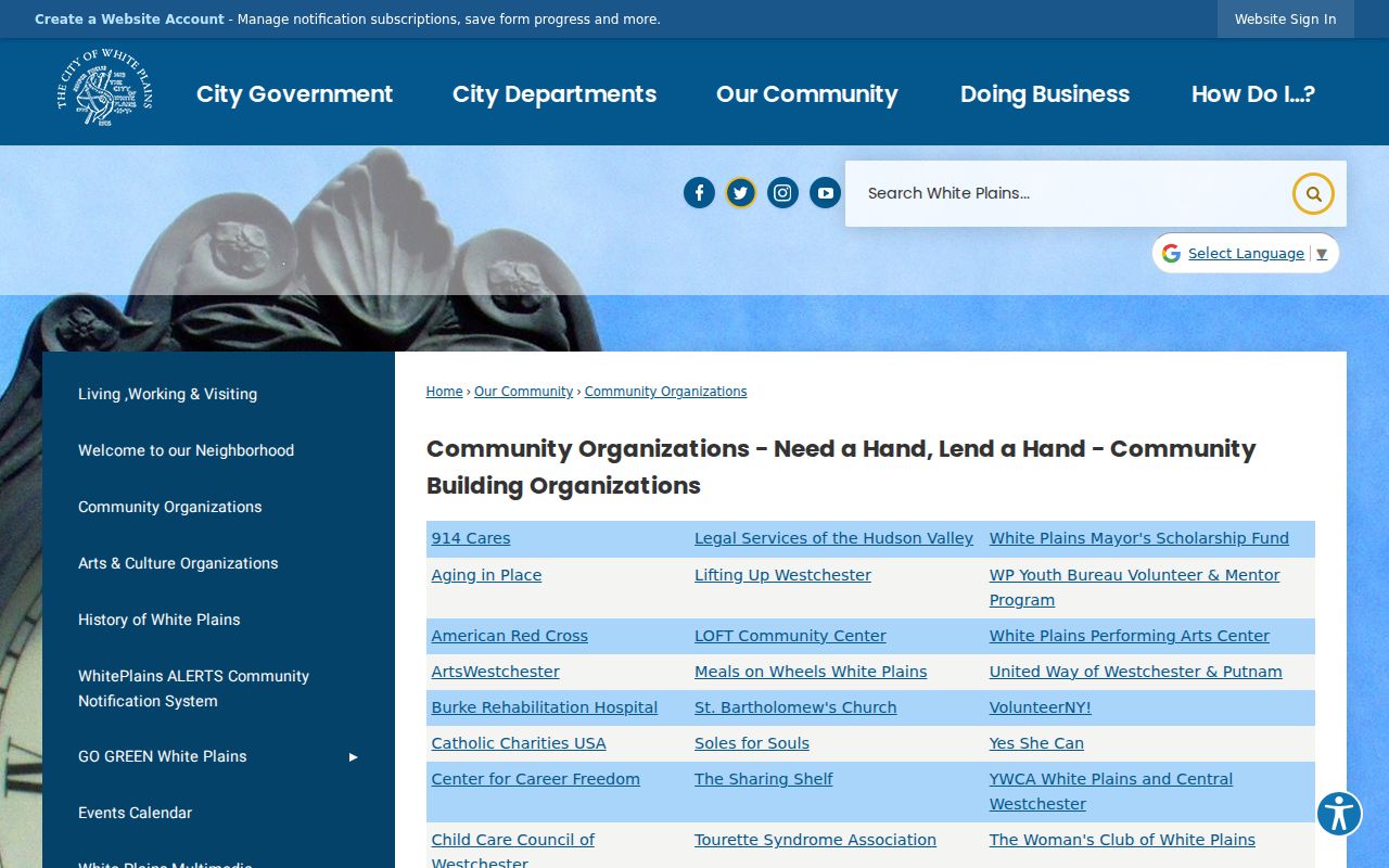
Use these public contacts to understand the community layer around a block. They do not substitute for parcel validation or give permission to request private membership information.
White Plains Neighbor Voter Rules End Search
New York’s voter tool is a personal registration, poll-site, and ballot-tracker service. It requires county, last name, first name, date of birth, and ZIP. It has no verified public street-browse function, so it cannot be used to turn a White Plains block into a voter list. Election Law §3-103(5) restricts information derived from voter registration records to an elections purpose.
The Westchester Board of Elections is the county contact for authorized election records and local election information.
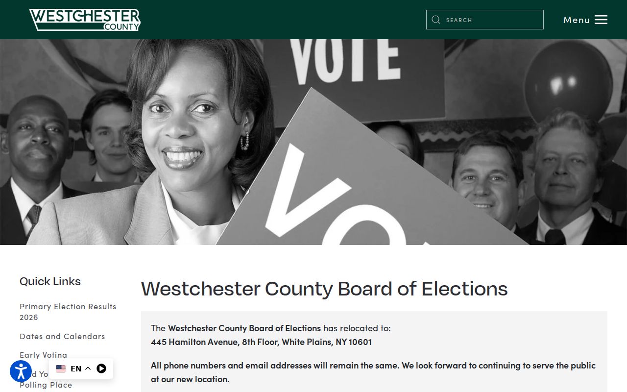
The Board’s access form can request a defined record, but voter registration data requires an election-purpose statement. A qualifying confidential voter may keep the record separate and unavailable to public inspection for four years, with renewal available.
White Plains Neighbor Map Layers Show Geography
The County viewer’s overlays can describe the setting around adjacent parcels without identifying people. Available layers include school and fire districts, water and sewer districts, zoning, flood plains, steep slopes, wetlands, land use, two-foot contours, sewer mains, sewer manholes, and drainage structures. They can help distinguish a service boundary from a property line or neighborhood name.
These map layers are especially useful because White Plains is also the county seat. A White Plains office address may serve all Westchester, while a municipal parcel field identifies whether a parcel is actually in the City. Use the MUNI_NAME, SWIS, SBL, and City assessment record when city jurisdiction matters.
White Plains Neighbor Privacy Limits
New York’s Address Confidentiality Program permits qualifying participants to use a designated substitute address. Confidential-voter procedures can also keep a voter record outside public inspection. Vital records, protected court material, and redacted information have their own legal limits. A blank, substitute, or mismatched address may be intentional and should not be reconstructed from parcel, voter, or civic sources.
The lawful endpoint for a block search is a correctly understood public parcel, title, map, or organization record. It is not a way to identify every household member or pursue someone who is protected. Ask the original custodian about a correction, amendment, sealing, or address-substitution process when an underlying record needs attention.
Lawful use. Use White Plains neighbor records for personal, family-history, estate, civic, or safety purposes. Do not use parcel, map, organization, or voter information to stalk, harass, intimidate, or harm another person.