
White Plains Previous Residents by Era
Previous residents of a White Plains address are not held in one continuous record. The reliable method changes with the date. City assessment material identifies a current parcel and assessed owner. County GIS gives current geographic context. Recorded deeds follow title, while directories and census records give historical address or household clues. The table keeps each source in its proper time frame and describes what it can actually show.
| Source | Years It Covers | Where Held | What It Shows |
|---|---|---|---|
| City assessment roll | 2026 material linked by the City | White Plains Assessor | Current parcel, assessed owner and mailing line, deed book/page clue |
| County GIS parcel layer | 2023 technical metadata; current viewer context | Westchester County GIS | SBL or print key, street geography, adjacent parcels |
| WRO land records | Clerk describes 18th-century deeds through recent files | County Clerk | Recorded instrument, book/page, parties, and title-chain leads |
| County Archives deed indexes | 1680–1907 | Westchester County Archives | Historic grantor and grantee research route |
| White Plains directories | 1903/04–1932, with documented gaps; WPPL 1888–1967 with gaps | NYS Library and WPPL | Dated name and address clues; reverse search from 1930 |
| Federal census | Released through 1950 | National Archives and library research access | Historical household snapshot |
| Sanborn map | 1911, 65 sheets | Library of Congress | Building, block, and street context, not people |
Begin with the source closest to the period in question. A current roll is a poor shortcut for an old household, and a historic directory cannot prove a modern address fact. Each dated source narrows the next request.
White Plains Previous Residents Start
For a present-day starting point, use the White Plains Assessor and the City tax-bill inquiry. The inquiry accepts an address, owner name, or parcel ID. The City’s published 2026 assessment material can provide the parcel ID, property location, assessed owner and mailing address, property class, deed book/page, values, exemption codes, and district fields. Record the SBL or tax-map identifier, legal description if available, and book/page before moving to land records.
The 2023 technical metadata on the County parcel layer matters because it is not the same thing as the 2026 City assessment roll. Use the County viewer for parcel geography, print key, and block context. Use the City assessment source for its assessment fields. Both must be cited by their own record date. An owner name or mailing address on either source is not evidence that the owner lived at the physical address.
Note: Keep the address, SBL or print key, source date, and deed reference together before starting a backward title search.
Trace White Plains Deed Chain
The Westchester Records Online gateway, known as WRO, is the County Clerk’s land, legal, maps, and trades route. The Clerk describes the land-record reach as 18th-century deeds through recently entered legal records. The unauthenticated interface does not publish its field list, and remote access has a separate assigned-ID account layer. When remote access does not supply the needed instrument, use the Clerk’s free public search and image terminals in Land Records Room 345 or request a copy from Land Records.
- Take the current parcel’s SBL, legal description, deed book/page, and assessed-owner line from the City material.
- Use WRO or a Clerk terminal to locate the transfer by the book/page, document reference, or current buyer as grantee.
- Read the instrument and record the grantor, grantee, recording reference, document type, and legal description.
- Search the seller as grantee, or follow the legal description and SBL, to find that seller’s earlier acquisition.
- Repeat with dated notes, then shift to the Archives route when the historical range or access gate requires it.
- Grantor
- The person or entity transferring an interest in a recorded instrument, often the seller in a deed.
- Grantee
- The person or entity receiving the interest, often the buyer in a deed.
- Chain of title
- The dated sequence of recorded transfers used to follow an interest in the parcel backward.
- Legal description
- The parcel description used in land records. It is more durable than an old street label when address conventions change.
A deed records a property transfer. It does not prove that a grantor, grantee, or any other party occupied the address. That distinction keeps the past-resident question separate from the ownership trail.
White Plains Archives Before 1908
When a title search reaches the documented historic range, the Westchester County Archives research-by-mail service becomes the direct fallback. Its dated holdings include deed grantor/grantee indexes for 1680–1907, mortgagor indexes for 1680–1897, estate records for 1782–1909, and maps from about 1766 to the present. The service accepts customized research requests by mail and asks for payment before research begins.
Give Archives staff a bounded request: parcel identifiers, the street label used at the time, a date range, grantor or grantee names, and known book/page details. This is more productive than asking for every person associated with an address. Estate records can be a lead for a deceased former owner or heir matter, but the estate reference still needs source-based relationship verification.
Westchester County Archives mail research describes this older deed, mortgage, estate, and map route.
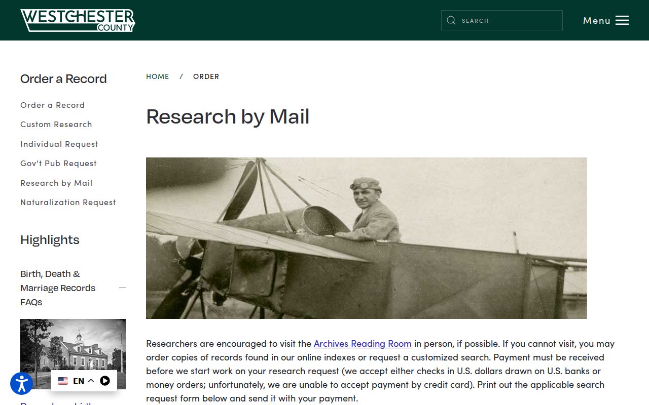
The Archives route is a real access channel for early records, not a claim that the entire historic chain is openly searchable from one web form.
White Plains Previous Residents in Directories
Directories supply the household layer that deeds cannot. The New York State Library microfilm list records White Plains years of 1903/04–1908/09, 1910, 1911, 1913–1916/17, 1919, 1921–1929, and 1930–1932. It does not list 1909, 1912, 1917–18, or 1920 in that format. WPPL’s local run reaches 1888–1967 with gaps, so the two resources should be compared rather than flattened into a fictional annual sequence.
WPPL’s House History guide identifies 1930 as the verified start of reverse address searching. For a later address, a criss-cross section can identify a printed listing at that location. Before 1930, work from name sections and compare maps, deeds, newspapers, and census schedules. The collection details and entry-reading method are available through the White Plains city directories.
WPPL’s House History guide is the source for the local directory span and reverse-search boundary.
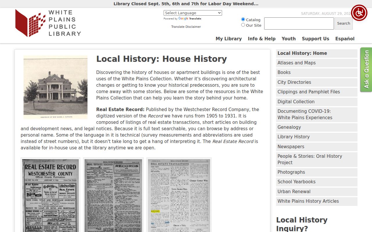
The guide’s sequence is practical: directory, map or atlas, assessment or deed, then newspapers or census for an address-specific historical trail.
White Plains Previous Residents Census Pairing
Use directory years as points between the decennial census schedules, not as replacements for them. The released federal census reaches 1950, and WPPL’s local-history resources include historic census material. A directory close to 1910, 1920, 1930, 1940, or 1950 can help test whether the same household appears at the address. Differences in spelling, initials, apartment details, and street numbers need to be noted rather than silently merged.
- Choose a directory entry with a known year and transcribe the address as printed.
- Find the nearest released census year and examine the household as a historical snapshot.
- Compare street label, number, name variants, and the time gap between the two sources.
- Check a preceding or following directory year to see whether the address change is sustained.
- Use an obituary, newspaper notice, probate reference, or deed date only as a follow-up lead.
A census relationship or address is historical evidence for that census date. It should not be carried forward as a current claim, and it should not be used to fill in protected or omitted information.
White Plains Previous Residents and Sanborn
The 1911 White Plains Sanborn map has 65 online sheets. It is a building and block source. It can help show a footprint, construction or use context, surrounding streets, and whether an address fits the physical setting of a directory entry. It does not name a family or an owner. Keep its role separate from a directory or census listing.
Earlier Library of Congress Sanborn sets include 1889 with seven sheets and 1894 with thirteen sheets. A 1930 Volume I is cataloged with 91 sheets and eight skeleton maps but is not online. County Archives maps and historic atlases are another way to test old road names and lot patterns. These materials clarify place, not household membership.
White Plains Street Name Aliases
White Plains has two documented historical street-name changes that can disrupt a search: Railroad Avenue became Main Street, and Village Street became Broadway. Bridge those aliases with the SBL, legal description, filed maps, cross streets, and deed book/page. Do not invent a citywide renumbering rule. No official citywide number-renumbering crosswalk was located in the research.
This is a useful local quirk when an entry looks absent. Search the earlier name, then test the parcel description and map context. An old directory can also include Elmsford, Hartsdale, and Scarsdale in its 1928–1932 White Plains scope, so confirm the place heading before linking the entry to a City address.
Note: A verified street alias is a search aid, while an assumed street-number change can send a historic address trail in the wrong direction.
White Plains Building Record Requests
Building material may date construction or alteration, but it is not a historic household index. White Plains Building Department applications are available through the City, yet no public historical address-search range was located. For an existing record, request the permit, card, inspection, plan, or other defined item by address and time period through the Building Department or a properly described City records request.
The request should name the subject address, approximate years, and record type. Permit applications can contain project and applicant information, but they do not establish who lived at the property. Use the actual custodian response, then place any released document in the timeline by its date and purpose.
White Plains Previous Residents Limits
Past-resident research is most useful for family history, estate questions, house history, and careful civic curiosity. It is also bounded. A tax-roll owner, deed party, owner mailing address, or map label is not automatically an occupant. A directory or census listing is tied to its date. Protected addresses and confidential records should not be reconstructed by combining gaps across sources.
Lawful use. Use White Plains historical address records for personal, family-history, estate, or house-history research. Do not use record fragments to stalk, harass, or harm a living person.
For a questionable transfer, verify the actual instrument with the County Clerk. For an archive dead end, ask the custodian about the specific year or record group. The dated trail is more trustworthy when each source stays within its own purpose.