
White Plains ZIP Code Coverage
White Plains delivery service is broader than the City itself. A February 2026 USPS Office of Inspector General report identifies six standard delivery ZIPs served by the White Plains delivery unit and a separate PO Box route. Those are postal service areas, not neighborhood boundaries or a City parcel list. The table keeps the reported postal role clear instead of assigning unsupported neighborhood coverage to individual ZIPs.
| ZIP | Areas Covered | Post Office | Notes |
|---|---|---|---|
| 10601 | White Plains MPO delivery geography | White Plains MPO | City Hall uses this mailing ZIP; postal service is not the City boundary. |
| 10602 | PO Box routes | White Plains PO | PO Box function, not a street-address area. |
| 10603 | White Plains MPO delivery geography | White Plains MPO | Postal place names may include North White Plains; check the municipal field. |
| 10604 | White Plains MPO delivery geography | White Plains MPO | Use address-specific USPS and parcel confirmation. |
| 10605 | White Plains MPO delivery geography | White Plains MPO | Exact address verification remains necessary. |
| 10606 | White Plains MPO delivery geography | White Plains Main Post Office | Main Post Office is at 100 Fisher Avenue. |
| 10607 | White Plains MPO delivery geography | White Plains MPO | OIG lists service, but the County regional ZIP profile omits it. |
The report groups this delivery geography with about 85,304 people, a scope that exceeds the City population. That comparison is the clearest reason a White Plains ZIP must never stand in for a municipal boundary or a City-only address list.
Define White Plains ZIPs
Postal terms describe mail handling. They do not replace the address fields used by the City Assessor or Westchester County parcel systems. Keeping the vocabulary straight helps prevent a PO Box, delivery route, and actual parcel from being treated as the same thing.
- ZIP Code
- A USPS delivery-geography code used to route mail, not a municipal boundary or parcel identifier.
- ZIP+4
- An added four-digit segment that narrows mail sorting beyond the basic five-digit ZIP.
- PO Box ZIP
- A ZIP used for post-office box routes, which does not identify a physical street-address area.
- Unique ZIP
- A code assigned for a specific high-volume recipient or organization when USPS designates one.
- Carrier route
- A mail-delivery sequence within a ZIP area, not a property ownership or residency boundary.
White Plains 10602 is the locally documented PO Box route. The research did not identify a local unique-ZIP assignment or a ZIP realignment history, so neither should be inferred from a mailing label.
Note: A ZIP result is a postal fact. Confirm municipal jurisdiction through the parcel's City or County field before treating it as a White Plains location.
Verify White Plains ZIP Addresses
USPS directs users to verify a mailing ZIP with the full street address. Its official lookup accepts three modes: Address, City/State, or ZIP. The exact-address mode is the best final check when a street address is known. A returned ZIP can support address formatting, but USPS cautions that it does not confirm that a particular person or organization is at the address.
| USPS lookup mode | Entry and use |
|---|---|
| Address | Enter the full street address to verify its mailing ZIP. |
| City/State | Use the postal place and state to locate ZIP information. |
| ZIP | Use the five-digit code to review postal location information. |
The USPS ZIP Lookup is the postal verification route for a White Plains mailing address.
Use its result as one step, then check the assessor or parcel record when the question concerns City geography. A mailing ZIP alone cannot establish where a tax parcel sits.
Find White Plains Records by ZIP
A ZIP can narrow an address question, but the available White Plains property tools do not provide a ZIP-wide resident search. The City tax inquiry works from house number and street name, owner name, or parcel ID. The inspected County Property Viewer works from partial Address, SBL, Print Key, or a map geocoder. Neither interface exposes a ZIP filter for a full parcel list, and the City roll is parcel-ID ordered rather than ZIP ordered.
- Start with the complete mailing address and verify its ZIP through USPS.
- Use the house number and street name in the City tax inquiry, or use the known SBL or Print Key in the County Property Viewer.
- Check MUNI_NAME, SWIS, and the parcel address fields to confirm that the selected property is within the needed municipal geography.
- For a recorded transfer, take the parcel identifiers to the County Clerk's deed route. For a street-level address trail after the ZIP is narrowed, use the White Plains street directory workflow.
New York's voter tool also is not a ZIP browse tool. It is a personal registration and poll-site service with county, name, date-of-birth, and ZIP inputs, and voter-registration data is limited to an elections purpose.
Use White Plains Parcel Fields
Parcel records, rather than the ZIP code directory, establish the local government geography attached to an address. The County layer includes MUNI_NAME, SWIS, PARCEL_ADDR, PRINT_KEY, SBL, location components, and LOC_ZIP. City assessment material adds the assessed owner mailing line, values, exemptions, and deed book/page. Those fields serve different purposes, so compare them without treating any one as a current-residence statement.
| Field or record | What it helps confirm |
|---|---|
| MUNI_NAME and SWIS | The municipal/tax-system geography for the selected parcel. |
| SBL and Print Key | The parcel identifiers used to carry an address search into map and record systems. |
| PARCEL_ADDR | The physical parcel address used by the County layer. |
| Owner mailing line | Where assessment correspondence is directed, not proof of occupancy. |
The White Plains Assessor publishes the assessment-roll calendar and is the municipal source for the City's assessment material.
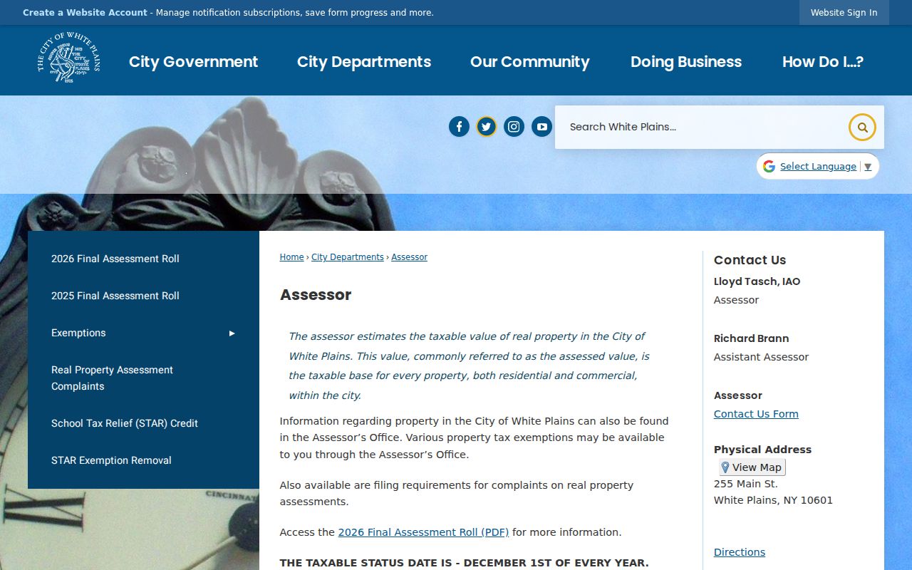
Assessment roll dates, taxable status, and parcel facts need to be cited as City records. The County viewer is a useful companion for map context, not a substitute for the City roll.
Compare White Plains ZIP Boundaries
Postal service geography and City limits overlap without matching. White Plains is also the Westchester County seat, so many offices with a White Plains mailing address serve the entire county. A City Hall, County Clerk, Board of Elections, or court address can appear in the same postal area while the custodians have different jurisdiction and records.
For an address near a postal edge, use the full USPS result first and then the City roll or County parcel viewer. The parcel's municipal and SWIS fields answer the City-geography question more directly than a ZIP. This is especially important where an address carries a White Plains postal label but the underlying parcel needs separate municipal confirmation.
Boundary check. A White Plains ZIP supports mail routing only. Confirm City jurisdiction with MUNI_NAME, SWIS, and the municipal assessment record for the selected parcel.
Read White Plains 10602 Properly
The 2026 OIG report distinguishes 10602 from the six delivery ZIPs by identifying it for PO Box routes. That makes 10602 a useful mailing fact for a box, not a neighborhood or street-address search area. A PO Box may be a correspondence address and cannot identify a physical parcel by itself.
When a record contains 10602, keep it in the mailing-address column. Look for a situs address, SBL, deed legal description, or other custodian-held parcel field before making any City-geography comparison. The same caution applies to an assessment owner mailing line, which can legitimately differ from the property address.
Note: The 10602 PO Box designation is a postal routing fact and should never be expanded into a claim about a physical location.
Question White Plains 10604 and 10607
10604 and 10607 show why the White Plains ZIP Code Directory needs address-level verification. The OIG groups both with the White Plains delivery unit, but a delivery-unit list does not define the municipal edge. The research further notes that the County's White Plains regional ZIP profile omits 10607. That omission does not prove the contrary either way. It means a specific address must be verified through USPS and then through the parcel's municipal fields.
The same method applies to 10603, where postal place naming may include North White Plains. Do not use a place label, an area nickname, or a five-digit ZIP to move a parcel across a City line. Match the complete address, then the tax or map identifier, and finally the record's own jurisdiction field.
Compare White Plains ZIP Sources
Different White Plains sources answer different time-stamped questions. The OIG delivery report is a February 2026 postal source. The City assessment material has its own annual tax-status, tentative-roll, and final-roll schedule. A checked County Property Viewer parcel sample displayed 2025 roll and spatial years, while a County technical parcel-layer record identifies 2023 geography. No one source should be made to answer for all the others.
Record the source year beside each fact. Cite USPS for mail delivery, the City Assessor for assessment information, the County viewer for displayed parcel geography, and the Clerk for a deed's recording date. This comparison is more useful than claiming that a current ZIP display proves a current parcel or ownership fact.
White Plains ZIP Limits
A White Plains ZIP can help verify a mailing address, but it cannot prove a person or company is there, establish parcel ownership, or identify a City boundary. Assessment owner and mailing fields have their own limits, and recorded deeds identify transaction parties rather than all people connected with a property. Respect any blank, substitute, or protected address as a legal boundary, not a prompt to reconstruct it.
For a consequential property question, return to the office that made the record: the City Assessor for the roll, the County Clerk for recorded land instruments, and USPS for delivery formatting. Use records for legitimate personal, family-history, estate, civic, or safety purposes, and never to harass or pursue a protected person.